")
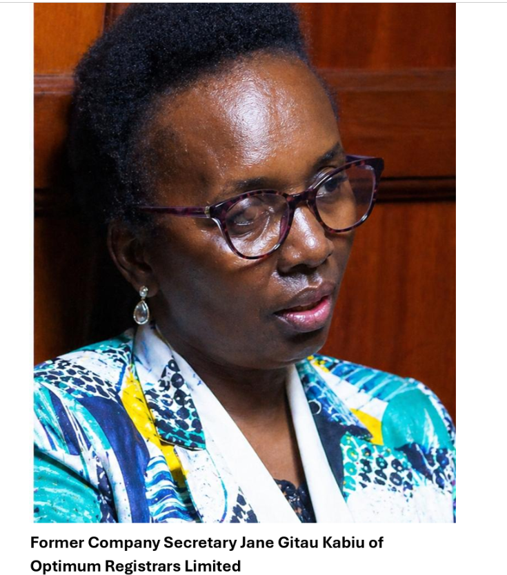
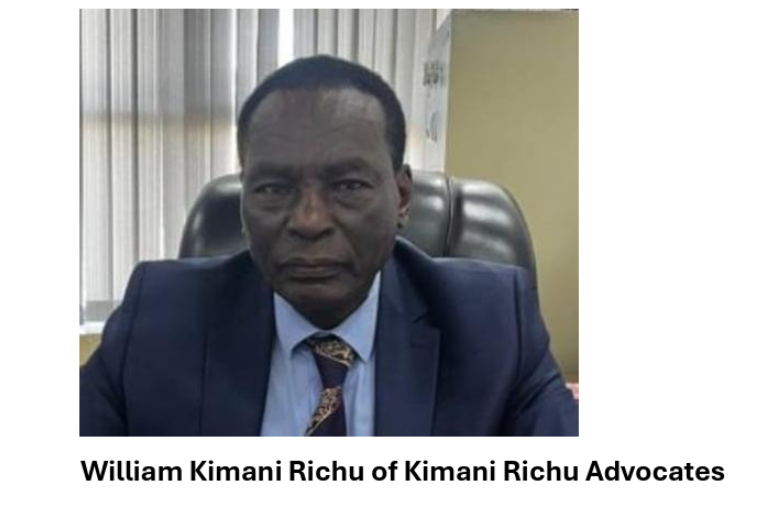
Submissions presented by petitioners, namely Kaplan and Stratton’s Peter Gachuhi, Optimum Registrar’s Jane Gitau Kabiu, lawyer William Kimani Richu, and four others, paint a true picture of an attempt to cover up a crime against the Estate of the late former Attorney General James Karugu. At first reading, the Petitioners’ submissions appear technical. They speak the language of constitutional restraint, urging that the matter be treated not as a dispute about a forged Will, but as a narrow question about prosecutorial discretion. But beneath that polished surface lies a far more telling reality. This is not a defence—it is an evasion.
The Petitioners’ central claim is deceptively simple: this is not a case about whether the Will is forged. It is, they say, merely about whether the decision to prosecute was proper. Yet everything about their position depends on the very issue they seek to exclude. The prosecution they are trying to stop arises from allegations of forgery. The investigation, by their own admission, includes forensic reports, witness statements, and documentary analysis. They acknowledge that the “dispositive issue” across proceedings is the validity of the Will. And still, they insist that the issue must not be examined here. One cannot ignore the contradiction. They rely on the existence of the forgery allegation to challenge the prosecution, while simultaneously insisting that no one should look closely at whether the allegation is true. This is not a legal discipline. It is strategic avoidance.
Their attack on parallel proceedings follows the same pattern. They argue that allowing criminal and civil processes to run concurrently risks conflicting outcomes and undermines fairness. Yet the law expressly permits such parallel processes. Indeed, the very framework they challenge was designed to ensure that civil disputes do not become a shield against criminal accountability. More revealing still is their reliance on precedent. They invoke authority to suggest that prosecutions may be halted where they are abusive, yet those same authorities affirm that criminal proceedings should proceed where there is evidence to support them.
Here, the Petitioners do not argue that there is no evidence. On the contrary, they acknowledge the existence of a full investigative file, forensic examination reports, and multiple witness accounts. It becomes difficult, then, to maintain that the prosecution is abusive. A process grounded in evidence is, by definition, the opposite of arbitrary. To label it as such without demonstrating malice or bad faith is not a legal argument—it is an assertion in search of support.
The repeated invocation of “abuse of process” only deepens the inconsistency. The suggestion is that the criminal case is being used to gain advantage in a succession dispute, that it is a weapon rather than a legitimate legal response. But these claims are not substantiated. There is no indication that investigators acted improperly, no evidence that the decision to prosecute was made without inquiry, and no demonstration of ulterior motive. What exists instead is a documented sequence: a complaint, an investigation, forensic analysis, and a decision to prosecute. To describe that sequence as abuse requires more than suspicion. It requires proof, and that proof is absent.
Perhaps the most revealing aspect of the submissions is the effort to exclude the complainant. The argument is framed as technical: the complainant’s interests are already represented, her participation would be duplicative, and her evidence would expand the scope of the proceedings. But beneath this framing lies a more substantive concern. The complainant is central to the factual matrix—her complaint triggered the investigation, her position provides context, and her materials illuminate the history surrounding the disputed Will.
To exclude such a figure is not merely to streamline proceedings. It is to narrow the field of vision. The concern, it seems, is not duplication, but disclosure. What is presented as procedural discipline reveals itself as an attempt to limit what can be seen and, more importantly, what can be tested.
Taken together, the Petitioners’ arguments follow a consistent pattern. They avoid defending the authenticity of the Will. They resist any examination of forensic evidence. They shift focus to procedural technicalities. And they seek to limit participation by those most closely connected to the facts. It is a defence built not on rebuttal, but on redirection.
One is left with an unavoidable inference: if the substance of the case were strong, it would be addressed. Instead, it is carefully sidestepped. What emerges is not merely a legal argument, but a strategy—one that seeks to transform a question of alleged forgery into a debate about process, to elevate form over substance, and to ensure that the central issue is never squarely confronted. But a process cannot exist in a vacuum. Where there is documented evidence, forensic analysis, and a structured investigative record, the legitimacy of prosecution arises from the presence of material that warrants examination. To insist that such material be ignored is not to protect fairness. It is to prevent scrutiny.
In the end, the Petitioners’ own words tell the story. They acknowledge the evidence, yet resist its examination. They invoke the law, yet rely on interpretations that do not support them. They call for restraint, yet seek to control the narrative. And most tellingly, they build an argument around avoiding the very question that gave rise to the dispute. A genuine defence confronts the facts. This one carefully walks around them. That is why one should see through the procedural smokescreen for what it is: not a shield of principle, but a barrier against truth.